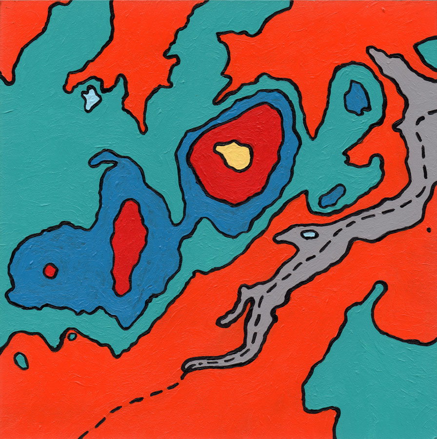
Enchanted Rock is an unusual pink granite dome that rises 425 feet above the surrounding land. In this map, each line represents a change in elevation of 100 feet, with the very top of the rock rising to 1825 feet. Areas in light blue are Moss Lake (upper left) and Frog Pond (center right). The dotted line represents Sandy Creek which intermittently fills with running water.
ICONIC TEXAS SERIES
Acrylic paintings depicting landscapes, plants, and animals that I’ve encountered while hiking and camping in the state’s public parks. I draw on my graphic design background to define abstracted forms, and explore color relationships with flat areas of paint, leaving hints of texture to enhance interest at the closest distance. The series celebrates our parks and wildlife, and seeks to remind locals and visitors alike that they have access to nearly a hundred state parks, each offering its own unique character and inhabitants.
