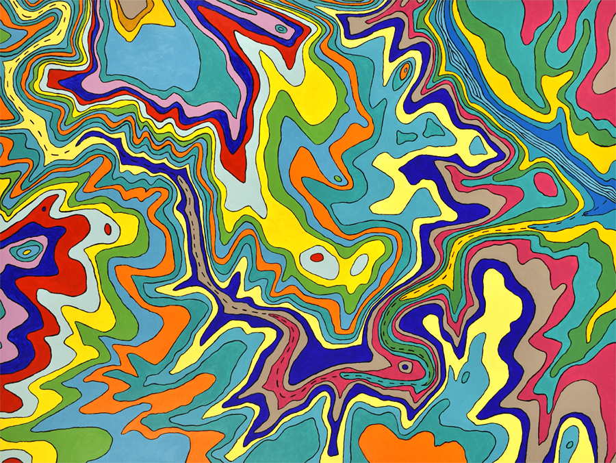
A topographical representation of the area encompassing Austin’s Barton Creek Greenbelt, a natural area that follows Barton Creek to the Colorado River. Each color was chosen carefully, considering the feeling I get while hiking in the area, as well as the relationships with surround colors.
